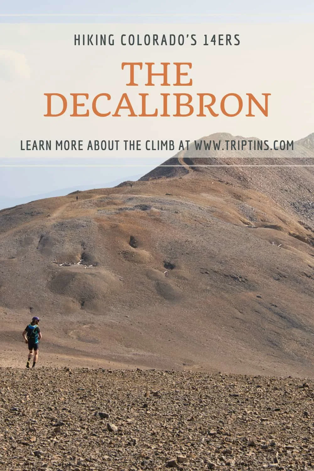

Are you looking to hike some 14ers in Colorado and want to summit four of them in one day? Well, the DeCaLiBron loop hike is for you then. During this loop trail, you will get to reach the peaks of Mt Democrat, Mt Cameron, Mt Lincoln and Mt Bross.
The multitude of peaks gives you the chance to enjoy a whole variety of unique views of the surrounding landscape and mountains. It is a fantastic trail to take part of and is one you will surely remember.
This guide will go through all the details you need to know about the DeCaLiBron loop hike. Whether it is getting to the trailhead, outlining the trail on a map, or going through the hiking details, read on to learn more about it all and more.
* Affiliate Disclosure: This post may contain affiliate links, which means I may receive a commission if you make a purchase through the links provided, at no additional cost to you. Thanks for supporting the work I put into TripTins!
1) What is the DeCaLiBron
Before diving into the loop trail, I wanted to lay out some important details to know about the hike in general.
Mountain Names:
- Mt Democrat (14,148 feet)
- Mt Cameron (14,238 feet)*
- Mt Lincoln (14,286 feet)
- Mt Bross (14,172)*
If you take the first two letters of each mountain, you should get a better understanding why the loop is called the DeCaLiBron (Democrat, Cameron, Lincoln, Bross).
*There are two important things to note regarding Mt Cameron and Mt Bross*
Mt Cameron: In order for a mountain to be considered a true 14er, a peak needs to be at least 300 feet above the saddle that connects to the closest 14er peak. Since Mt Cameron is less than 300 feet in elevation from Mt Lincoln, it is NOT considered a true 14er.
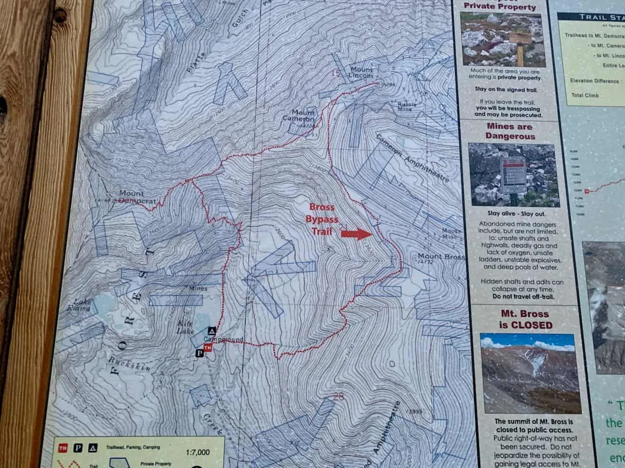
Mt Bross: The peaks of the DeCaLiBron are actually on private property. While the summits for Democrat, Cameron and Lincoln are open for visitors, that does not hold true for Bross.
The owners of the property do not allow visitors on the summit as you will see on multiple signs posted on the trail. Now, some people certainly ignore that but those are the rules (for now at least).
There is however a bypass trail that goes right under the true summit.
- Mountain Range: Mosquito Range
- Trailhead: Kite Lake
- DeCaLiBron Class: Class 2
- Distance: 7.7 miles
- Elevation Gain: +3,500 feet
OPENING UPDATE: JULY 2023
Great news (for now)! The DeCaLiBron is officially back open. However, visitors must sign a waiver prior to taking part of the hike.
According to the Colorado Sun article about the opening:
“Landowner John Reiber is installing signs with a QR code on the road leading from Alma to Kite Lake, the starting point of the 7-mile Decalibron Loop trail that connects Mounts Democrat, Cameron, Lincoln and Bross. If hikers scan the code with their phones and e-sign the waiver, they will be able to legally access Reiber’s property along the Decalibron Loop. If they do not, they will be trespassing.”
Note that the summit of Mount Bross is still closed off to public use (however, there is the bypass trail available).

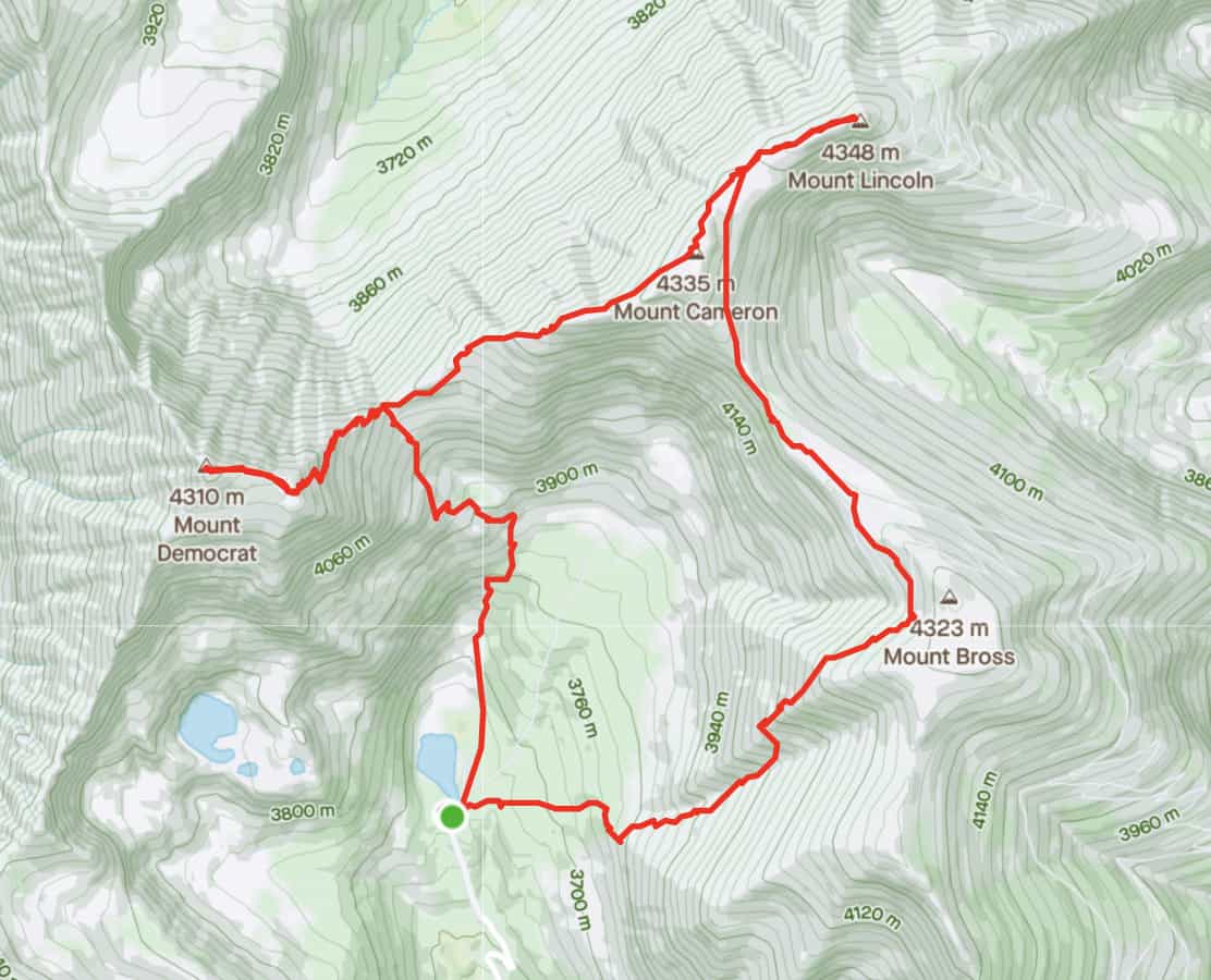
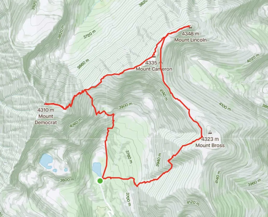
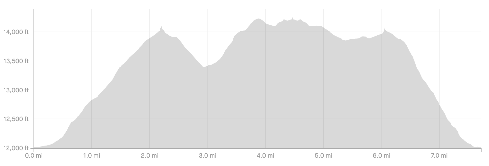
2) DeCaLiBron Map & Elevation Gain Profile
Below you can find the hiking map and elevation gain profile of the loop hike. Since the loop summits four mountains, there will be some ups and downs along the way.
This will definitely be a bit different of a hike than the usual 14er.

3) Clockwise or Counter Clockwise
One of the main questions people ask regarding this loop trail is whether to do it clockwise or counterclockwise.
Most answers I was getting during my research pointed me towards doing it clockwise, which is what I ended up doing (starting with Democrat and ending with Bross). This was mainly due to the ascent being easier in the clockwise direction.
Even though I did it clockwise, I will say I may have slightly preferred to do it counter clockwise instead.
This is mostly due to the views. It just seemed like the views in front of me going counter clockwise would have been better altogether.
Now of course, you could always turnaround and enjoy views from time to time, but it is nice to have them out in front of you.
I would say if you want an easier ascent, go with clockwise and if you want better views go counter clockwise.

4) DeCaLiBron Trailhead & Directions
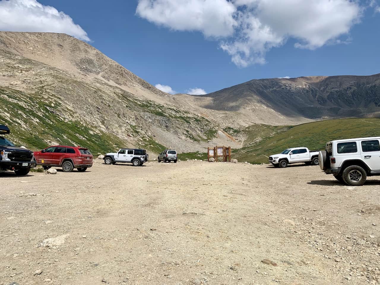
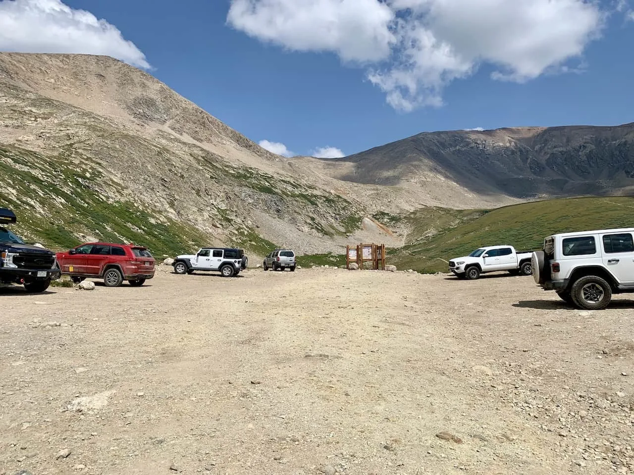
The DeCaLiBron trailhead is located at Kite Lake. The GPS coordinates for the parking lot are 39°19’39.0″N 106°07’46.0″W.
Here you will find a spacious parking lot with a restroom area (during peak season this does fill up early!).
This is also a trailhead where you must pay a $8 parking fee ($20 for overnight campers).
At the trailhead, you will find envelopes to take and put your money in. You can then insert the envelope into the slot either before/after your hike.
Getting to the trailhead will require you to make your way on Route 9 towards Alma. Once you reach town, Route 9 will be called Main Street. From Main Street you will need to make the turn onto Buckskin Street (County Road 8).
From there it is 5.5 miles up the road towards the Kite Lake trailhead. Most of the road is just fine for all types of vehicles. However, the last mile or so is in rough shape.
If you do not have 4WD I would recommend parking near the last hairpin turn and just walking up to the trailhead from there. I highlighted on the map below the recommended parking location for 2WD vehicles.
Colorado Car Rental: Looking for a rental car in Colorado? Check out Rentalcars.com for a variety of options that can work well on your trip.
Camping Near the DeCaLiBron
Camping is permitted at the Kite Lake trailhead and is probably your best bet when going about the hike. It is also nice that you will find toilets and some tables to sit down at for meals and such.
Note though that you must pay the $20 overnight fee for camping at the trailhead here by putting the money in the supplied envelopes.
5) DeCaLiBron Weather
The weather is probably the most important thing to consider when going about the DeCaLiBron Loop. Hiking in Colorado (especially at elevations like this) can get quite dangerous when the weather turns for the worst.
Before heading out for the hike be sure to check the mountain forecast for the day. It is very important to check the mountain weather and not the weather for the nearest town.
The weather in the mountains can be much different than the weather on the ground.
For Colorado 14ers, I like to check a few different sources to get the most up to date and accurate forecasts:
If you are hiking in the summer months, be on the lookout for those afternoon thunderstorms. While the day can start nice and clear, the weather can turn quickly.
The last thing you want is to be caught above the tree line during a thunderstorm. Always be sure to understand the forecasts and get an earlier start to the day just in case.
Hiking Resources & Checklist
Before heading out for the trails, be sure to read up on some of the hiking resources up on the site. These are here to better prepare you for all types of outdoor adventure.
- Gear: Hiking Packing List
- Weather: How to Prepare for Hiking Weather
- Navigation: Hiking GPS & Navigation
- Tips: 20+ Hiking Tips & Tricks for the Trail
- Accommodation: Book Your Hotel Today
- Rental Car: Book Your Car Rental Today
6) DeCaLiBron Loop Hike
As mentioned before, you can go about the hike in either direction. Since I completed it clockwise, that is how I will go about the remainder of this guide.
I will also try and show some of those views looking in the counter clockwise direction as well.
Mount Democrat
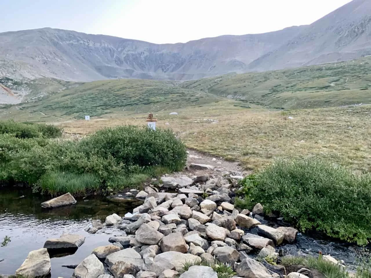
First up on the day is Mount Democrat. From the trailhead, simply follow the hiking signs, cross over the small river, and get yourself onto the trail pointing you to Mount Democrat.
If you want to head up Mount Bross first, then simply make the turn here instead.
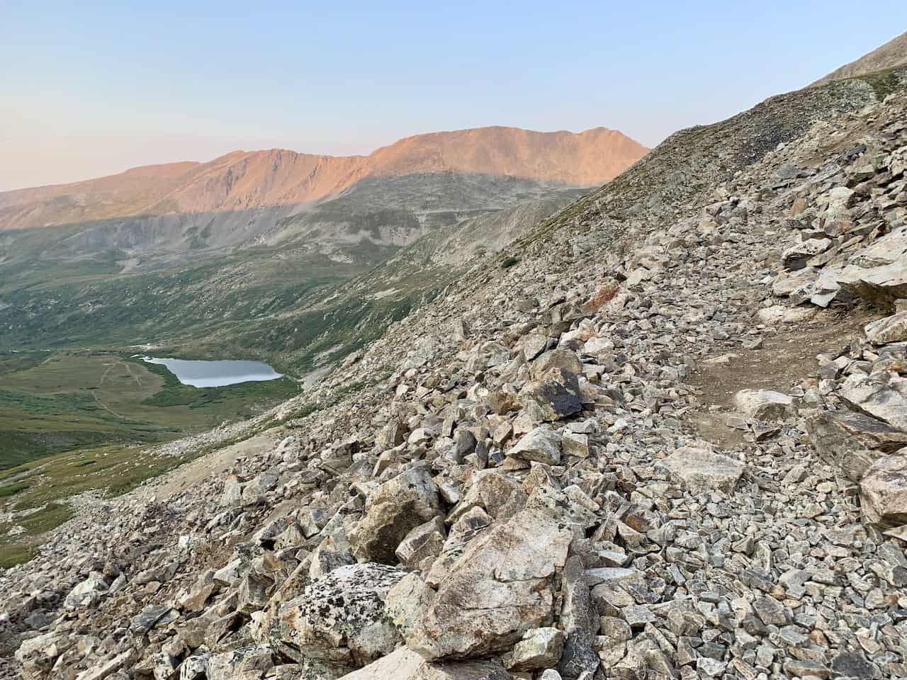
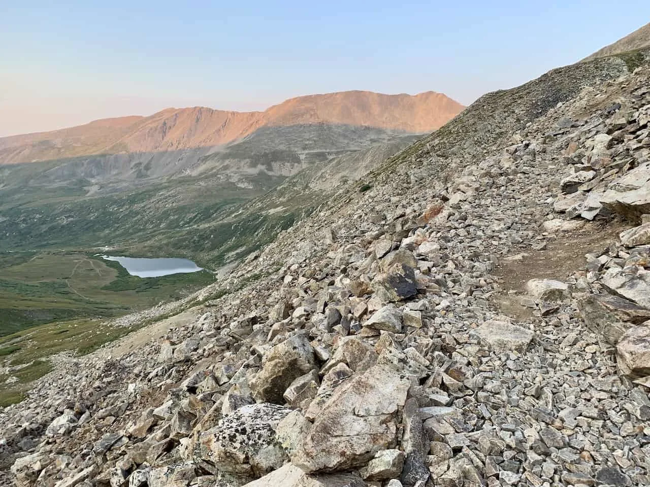
The trail starts out nice and easy as you walk on nearly flat terrain past Kite Lake. Soon though the trail does begin to pick up elevation as you head on the rocky pathway further up the mountain.


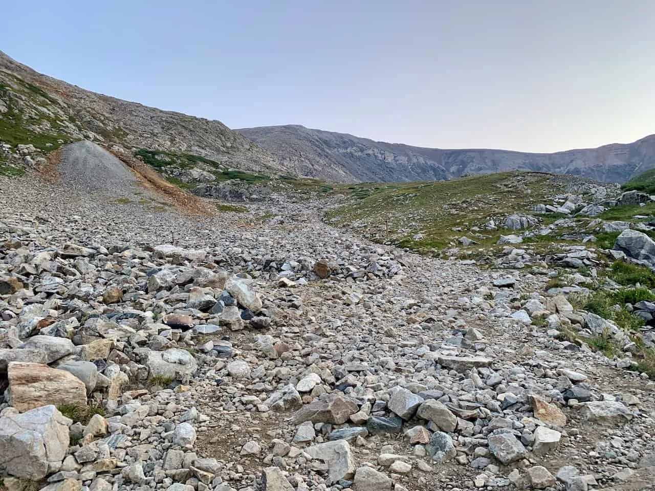
While the trail is marked to an extent and it should be pretty clear which direction to go, you will find the actual terrain quite tricky. There are lots of loose rocks all around so be sure to pay attention to your footing throughout.
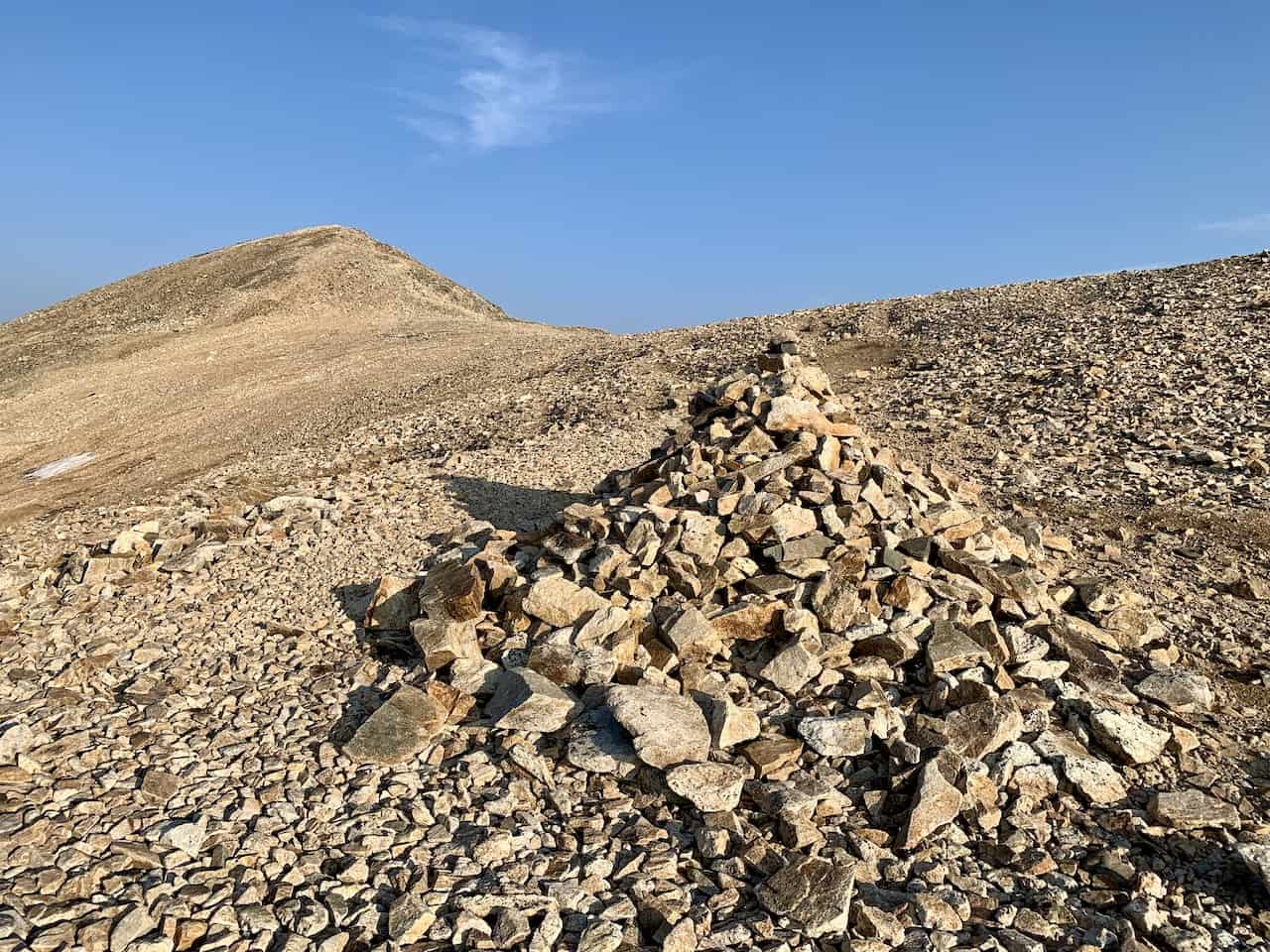
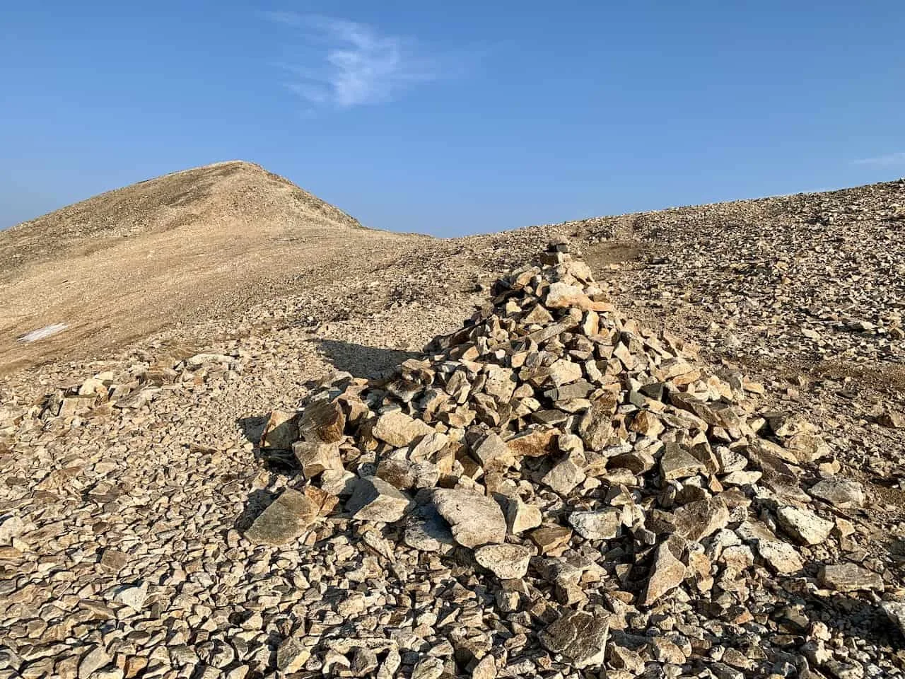
Throughout this trek up, you should find a few hiking signs getting you in the right direction but it will more so be those small piles of rocks (rock cairns) that will help you understand the pathway.
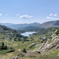
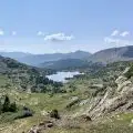
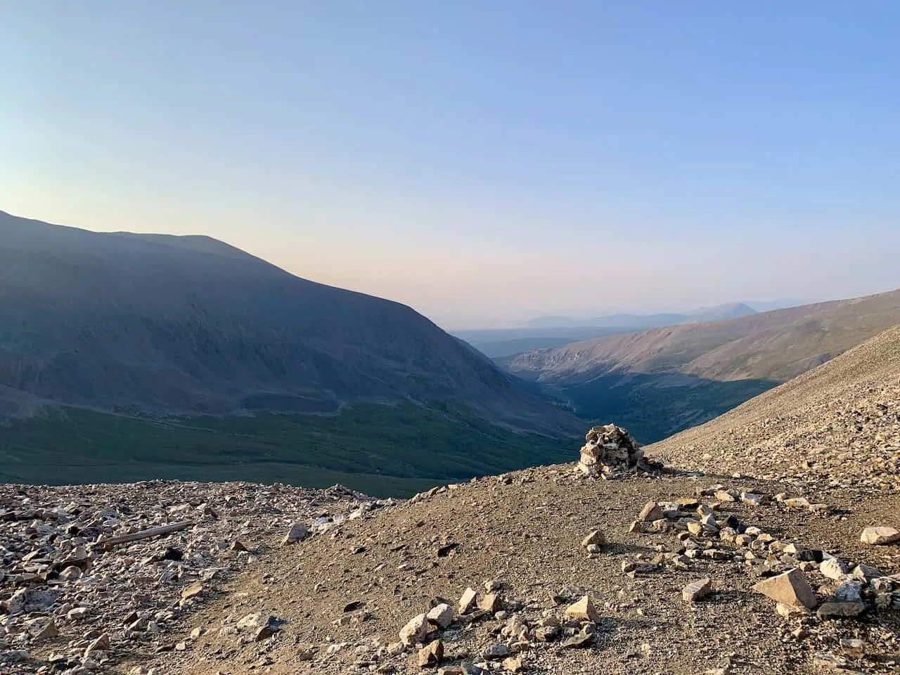
Be sure to take your time as you gain more and more elevation, and turn around here and there to take in the views of the valley down below.
After around 1.5 miles of hiking you will reach the saddle of Mount Democrat. To your left will be the trail up to Democrat and to your right will be the trail up to Cameron (more on that soon).
You may want to take a break here for a moment as you are about to continue uphill towards your first summit of the day.

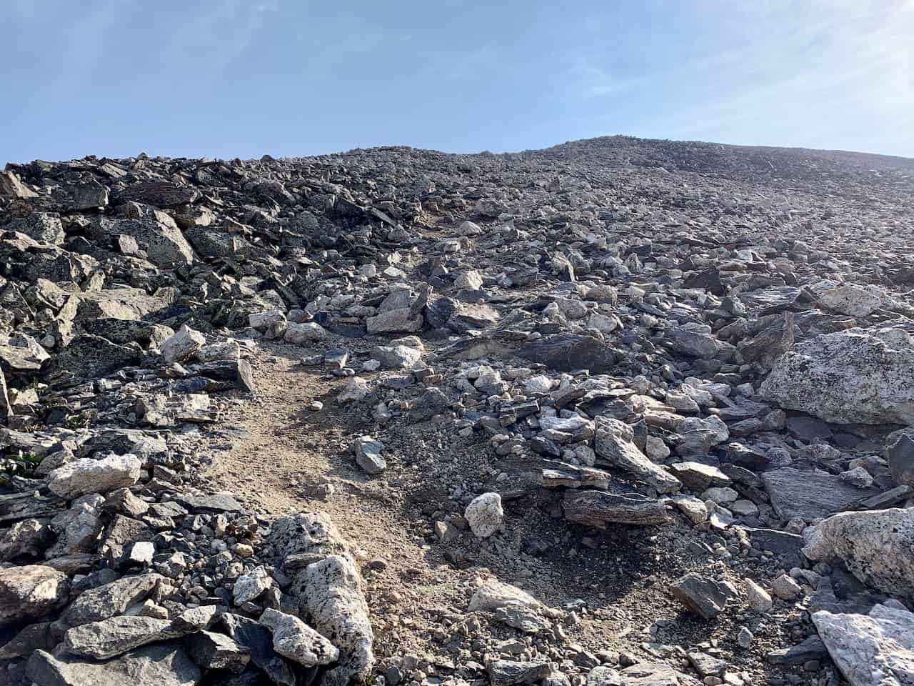
The trail from here does get a bit more difficult to navigate for the next 0.5 miles or so.
There are thousands of rocks all around and it can sometimes get a little bit confusing on the actual pathway. Try and take your time, and see where it is more obvious to you (the rock cairns should help too).

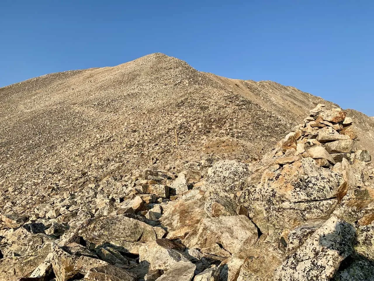
As you continue up, you may think the summit is right in front of you, however there is a false summit here so don’t get your hopes up too much.
Once you reach that false summit though, you should see the real summit just a bit further out in the distance. It is an easier hike from here to the summit as you complete the first part of the DeCaLiBron loop.


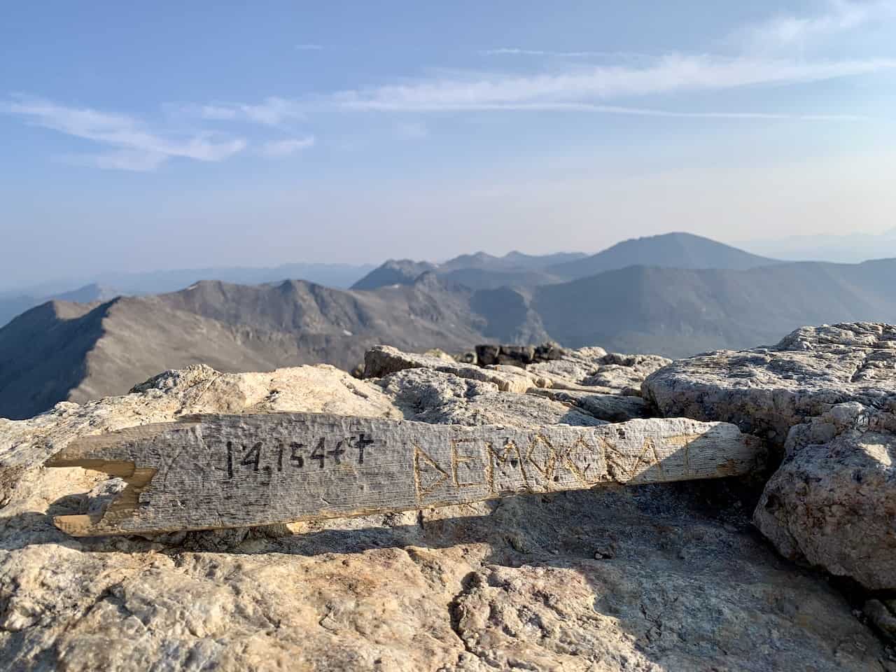

Mount Cameron
After enjoying those Democrat views, it is time to retrace your steps back to the saddle from before. That means you will lose around 700 or so feet in elevation as you head down the rocky terrain (be careful!) and back to the intersection point.
Next up on the day is Mount Cameron. As mentioned, Cameron is not a true 14er but it is still a great addition to the day.
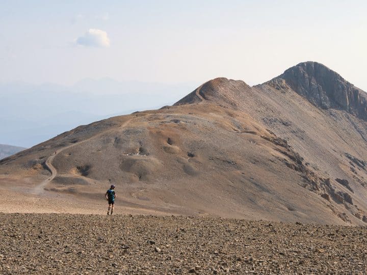
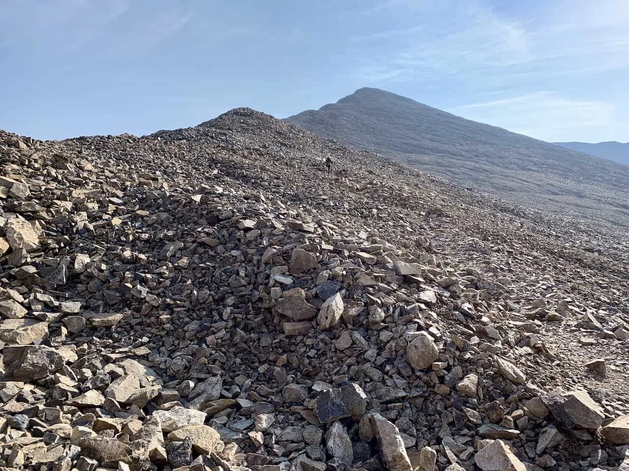
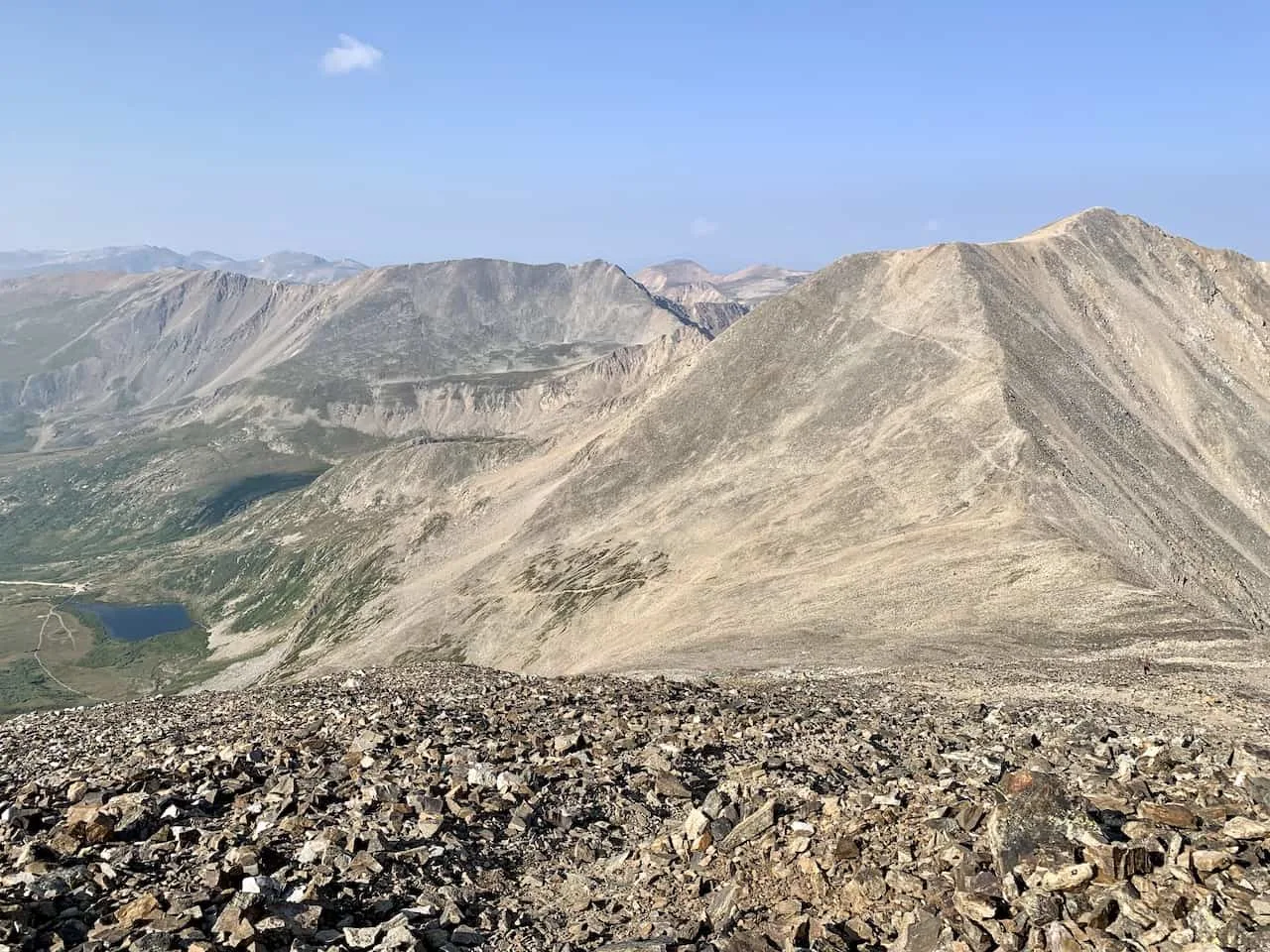
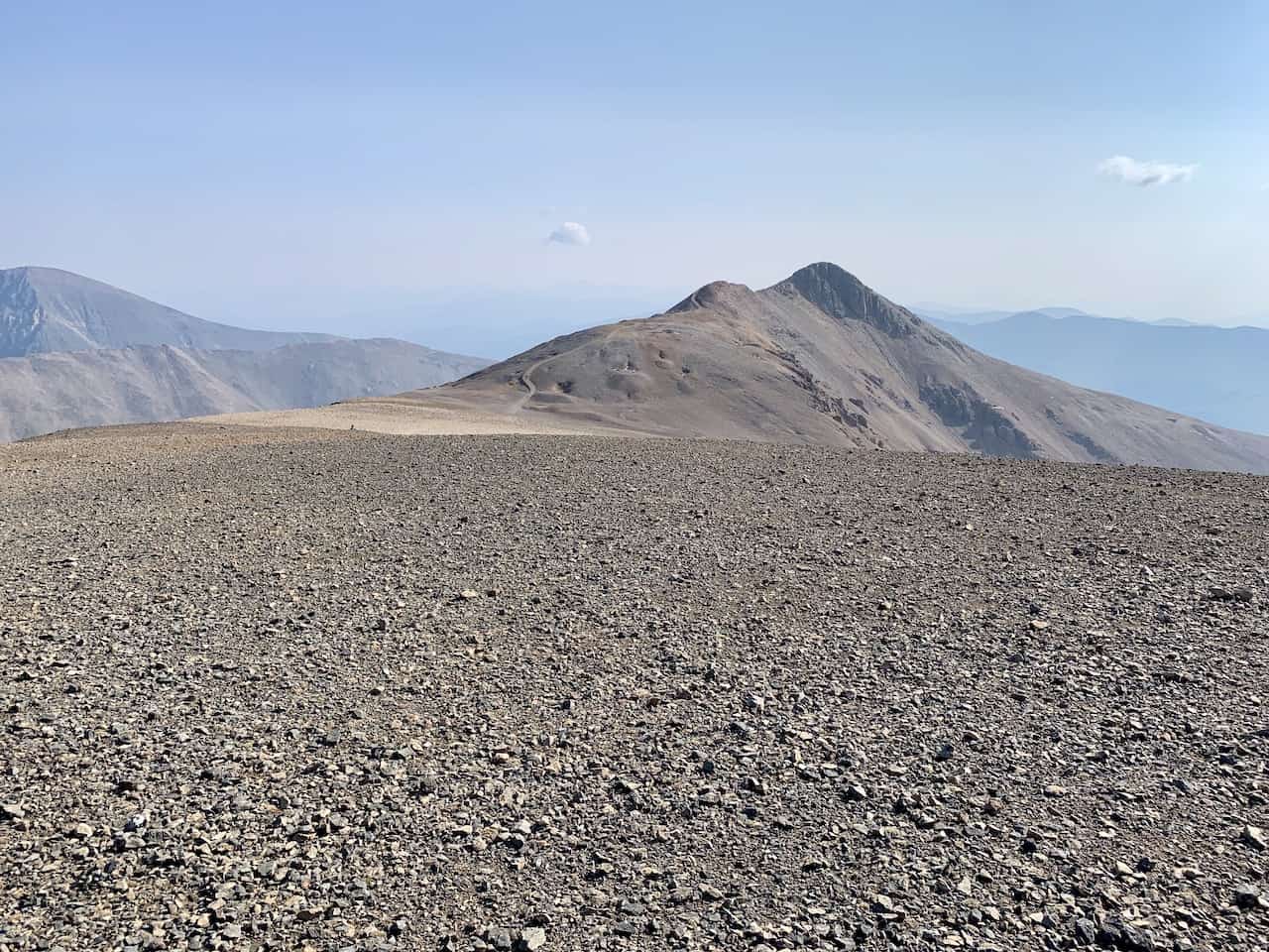
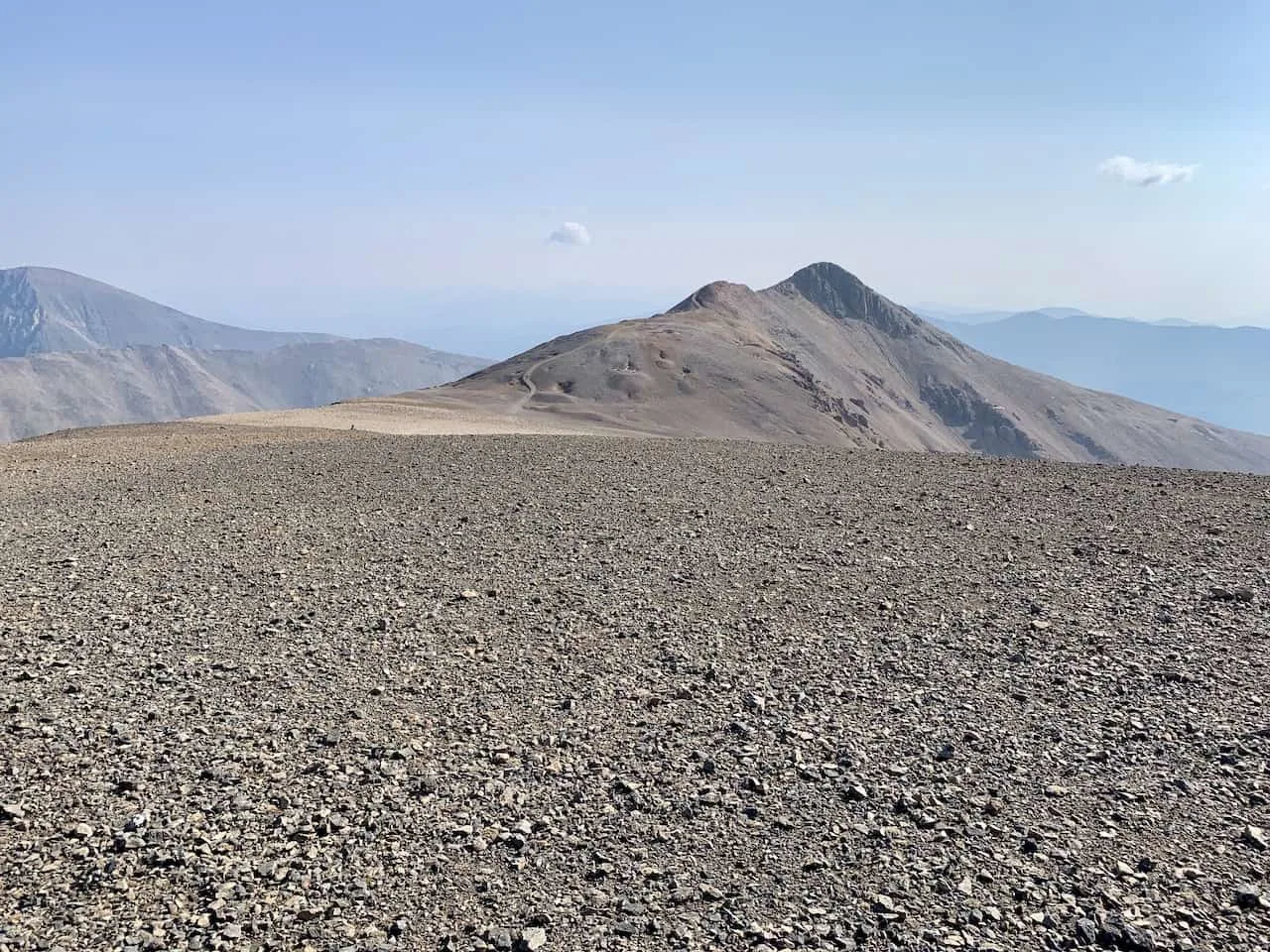
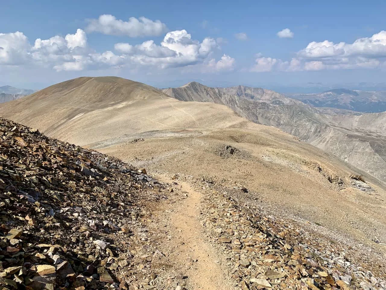
From this point up to Mount Cameron is about an 800 foot climb that you will be staring up. Below is an image I took from the Democrat descent as you can see the Cameron climb out in front.
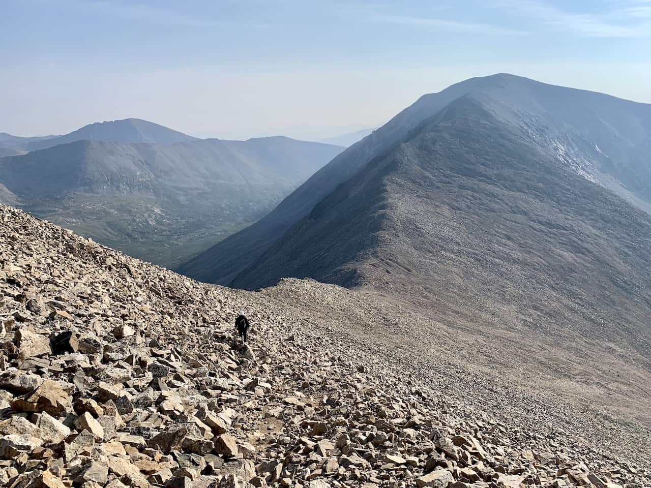

Another rocky ascent awaits, as you slowly make your way up the mountain from here. To your right will be Kite Lake with the valley down below, and behind you will be some great views of Democrat (here is where the views seem to be better counter clockwise).


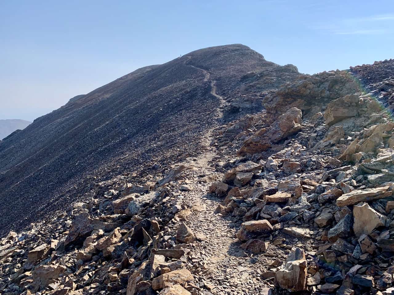
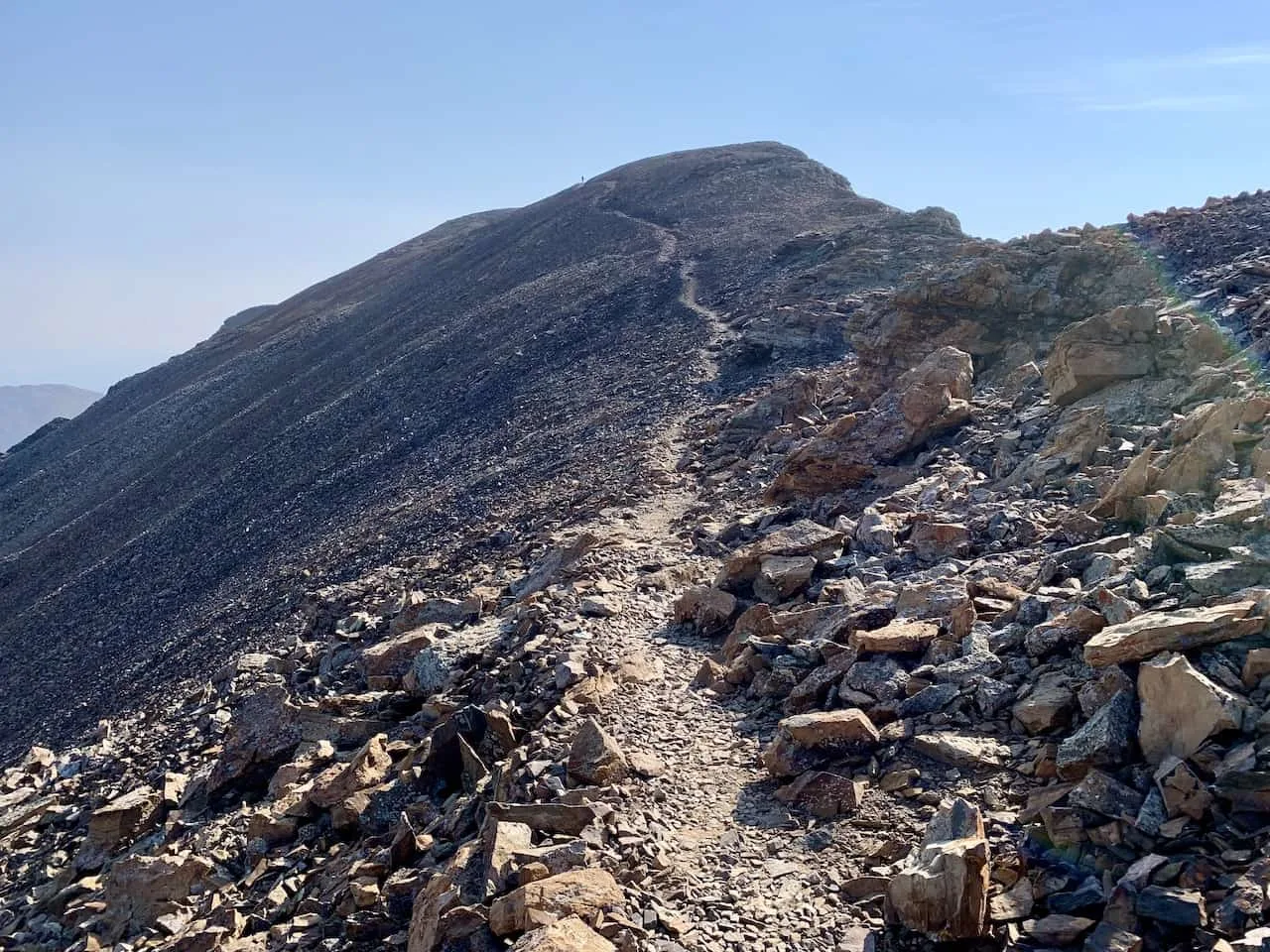
You will reach a point where the trail certainly flattens out a bit but then climbs until you reach the Mount Cameron summit.
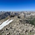
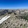
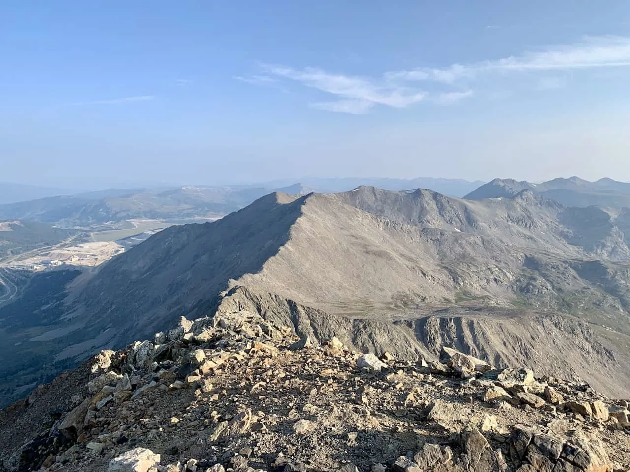
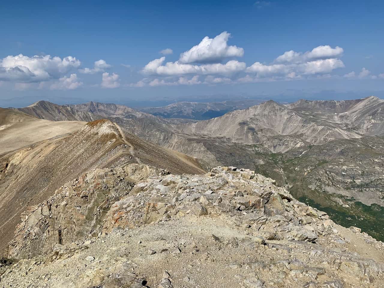
From the summit you should get some great views all around, with one of my favorite landscapes of the whole hike. The view of Mount Lincoln sitting out back is truly great scenery to enjoy.
Mount Lincoln
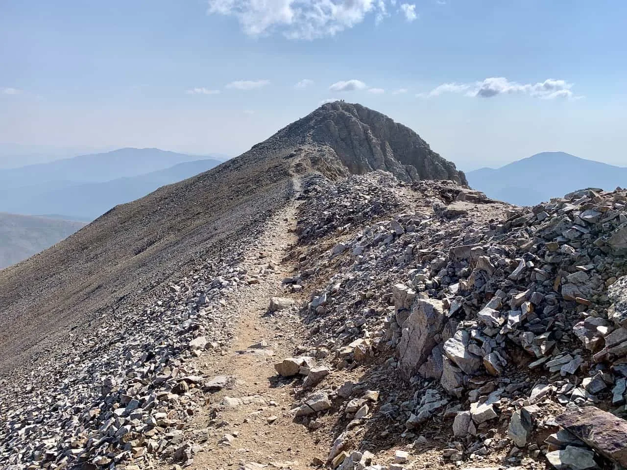
After making your way past Mount Cameron, the trail continues towards Mount Lincoln. You will lose just a bit of elevation as you follow the pathway towards Lincoln and then walk across a flat path.
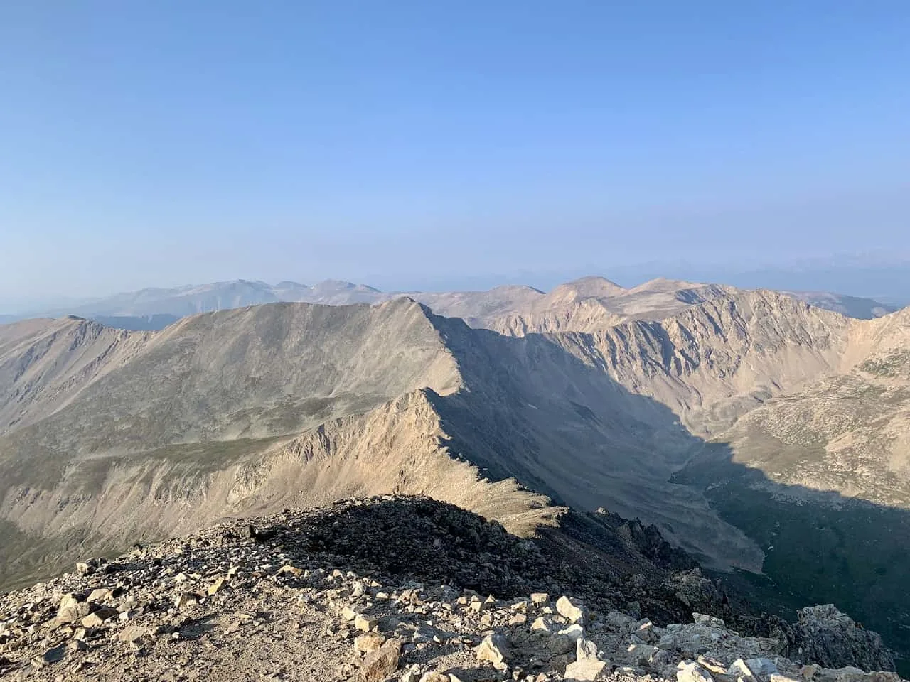
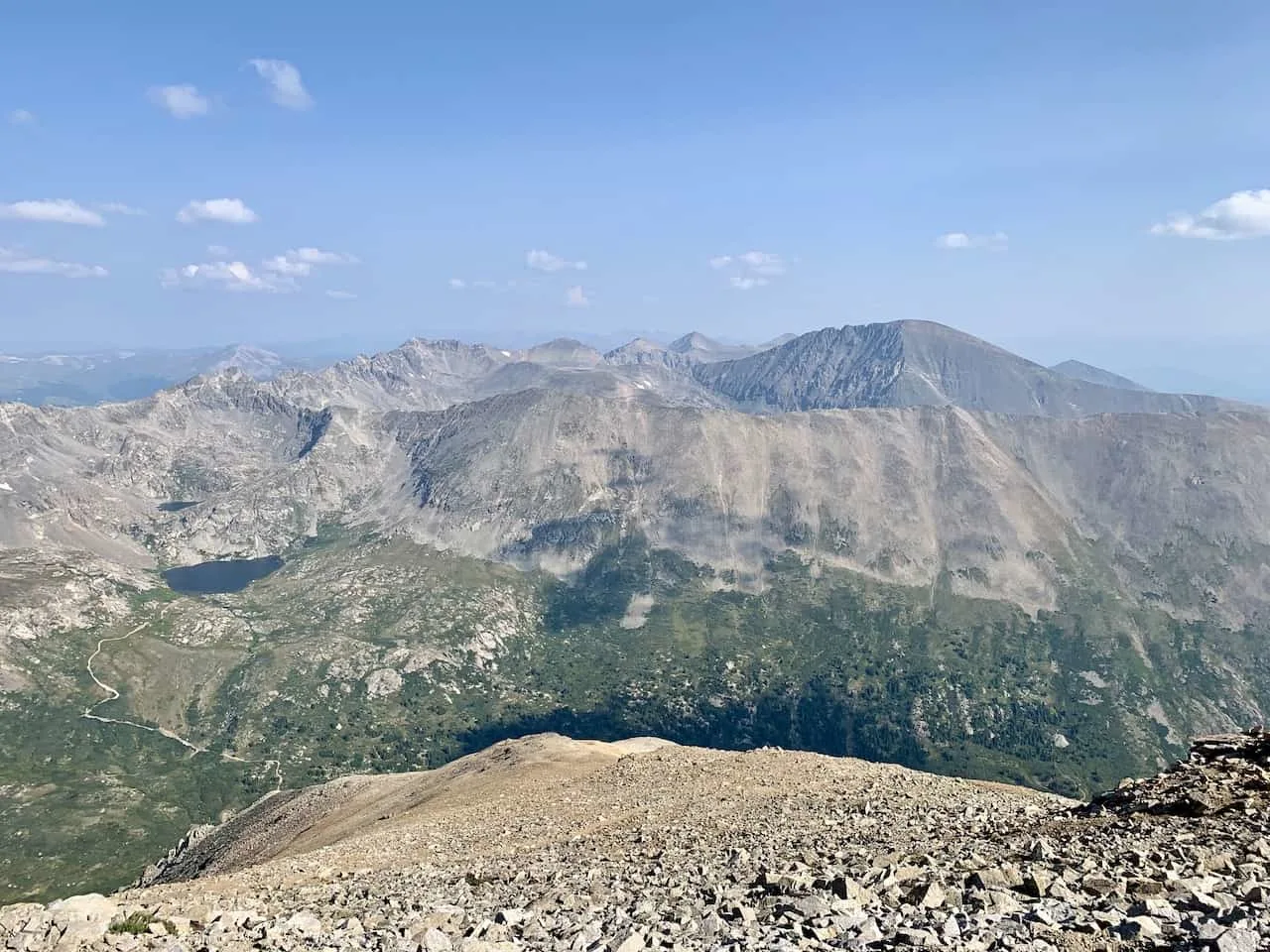
You will then soon reach the base of Mount Lincoln, and hike along the ridge towards the summit. You will also begin to get some new angles and views here of the surrounding mountains and lakes.

When it comes to summit views, I have to say, I think I enjoyed Mount Lincoln’s the most. There is just so much diversity in the landscape and you really get a great sense of the overall hike from here.


Mount Bross
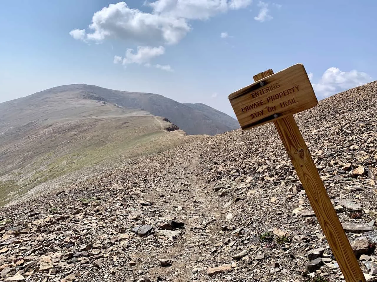
Once you have spent enough time atop Lincoln, it is time to make your way to the last of the 14ers, Mount Bross. As mentioned at the beginning of this guide, the summit of Mount Bross is closed.
However, there is a bypass trail that makes its way right underneath the summit.
The trail descends Mount Lincoln, and instead of following it back up to Cameron, there is a second trail that veers to the left towards Mount Bross.
There will be several signs here mentioning that it is private property and you must stay on the trail. I did see a few folks ignoring that warning and heading up to the true summit, however I do not think that’s the spirit of what this is all about. You will still get some great views from the bypass trail.


The rest of the hike will be flat/downhill beyond a couple short uphill spurts.
There are a couple intersections just below the summit of Bross that will take you to dead ends. Be sure to just follow the main pathway here and you should be good to go towards the bottom.
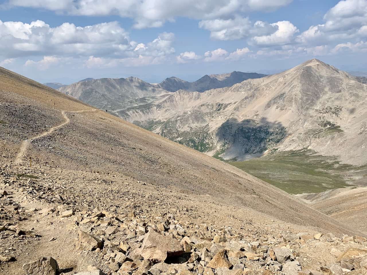


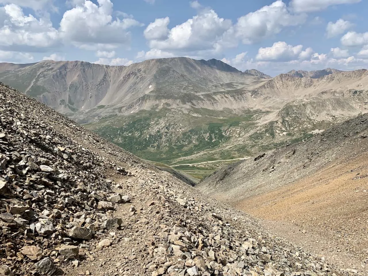
Right after passing the summit of Bross from the lower trail, the downhill really begins to pick up.
This here is the main reason why people do not want to go counter clockwise. But to be honest, going down this is not much easier (at least for me).
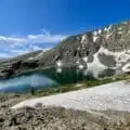
The trail is steep and tricky for a little while but you can see the end point down below where it really starts to have an easier decline. Continue following it along the mountain before it wraps down into the valley.
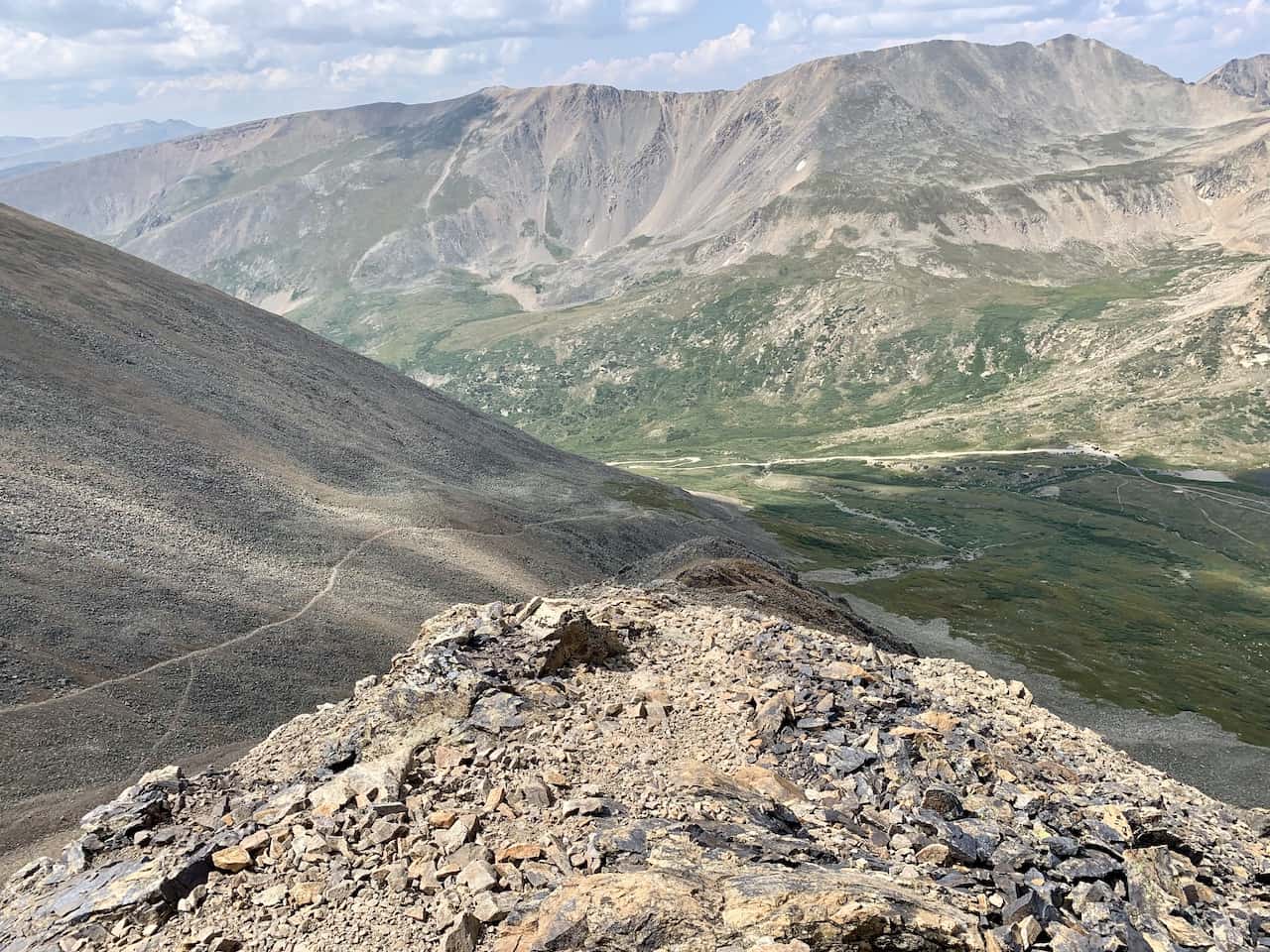
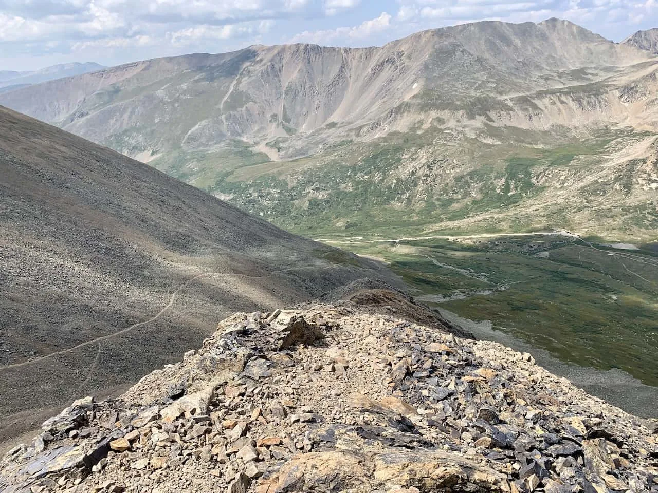
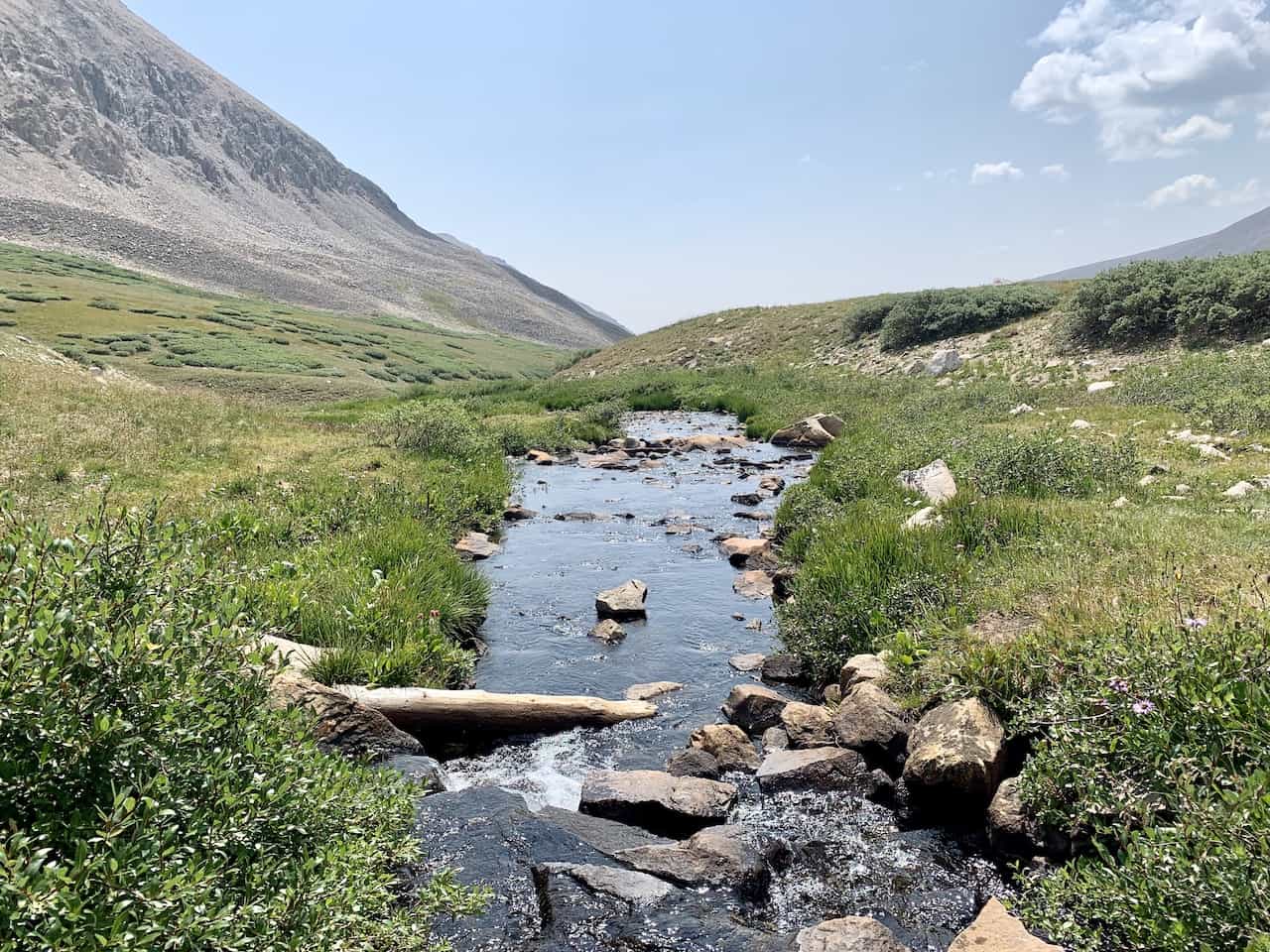
You will pass a small waterfall and river, before following the pathway right back to the main Kite Lake parking lot area. From here it is driving back out and taking a nice deserved rest.

7) Frequently Asked Questions
To wrap up this guide, below are just a few of the most frequently asked questions about the DeCaLiBron loop hike.
Is the DeCaLiBron Open?
This is always the main question people ask when thinking about doing this loop trail. The main reason it is asked, is because there have been times where all the summits were closed to hikers.
There was some sort of dispute or concern about insurance liabilities on the private land, which ended up closing the whole loop essentially.
The latest out there is that the DeCaLiBron is open, however the summit of Mt Bross is still closed. So, you can still take part of the loop and summit 3 out of the 4 14ers, and just head on the bypass trail underneath the Bross summit.
How Long Does it Take to Hike the DeCaLiBron?
The whole DeCaLiBron loop should take around 4-7 hours depending on ability. This will also all depend on how long you plan to stay on each summit.
Either way though, this is a full day’s hike all things considered so be prepared for lots of inclines and declines along the way.
What Class is the DeCaLiBron?
The DeCaLiBron is a class 2 hike. While the trail is pretty well marked throughout, there are certainly some sections of trail that are on rockier and trickier terrain.
Most notably is the second portion of the climb up Mt Democrat, which you will need to navigate both upwards and downwards. In addition, the decline (or incline) of Mt Bross can get quite steep and technical too.
Why is it Called DeCaLiBron?
It is called the DeCaLiBron due to the four mountains that make up the loop. If you take the first two letters of each mountain, it spells out DeCaLiBr.
A pretty simple yet effective way of coming up with the name to begin with.
That about does it for a guide to Colorado’s DeCaLiBron loop. If you have any questions or comments, be sure to add them in below.
Feel free to check out some other Colorado hiking guides up on the site.
Have fun out there and safe travels!
Looking for More 14ers? Check out some more hiking guides for nearby peaks in the area including:
– Mount Elbert
– Huron Peak
– La Plata Peak
– Mount Yale
– Mount Harvard
– Mount of the Holy Cross
– Quandary Peak
– Mount Massive